


NOAA’s Office of Satellite and Product Operations (OSPO) Tropical Cyclone Products hub provides real-time satellite data, wind analyses, and intensity estimates for tracking tropical cyclones worldwide. Its operational products include Dvorak classifications, microwave positioning, and rainfall forecasts.
OSPO Tropical Products
Subjective position and intensity estimates of tropical disturbances and cyclones across the globe using the internationally recognized Dvorak technique.
Text bulletins disseminated by 0100Z, 0700Z, 1300Z, and 1900Z describing the position and intensity estimates for tropical disturbances and tropical cyclones globally.
Subjective position estimates of tropical disturbances and cyclones across the globe using a variety of microwave sensors.
The Tropical Cyclone Formation Probability Product provides an estimate of the probability of tropical cyclone formation within the next 24 to 48 hours in 1 by 1 degree latitude/longitude areas from 45S to 45N and 0 to 360E.
The SAR TC Wind products are SAR-derived, high-resolution ocean surface winds over tropical cyclones. The products include L2 wind speeds, SAR NRCS at 500m resolution, and the estimated Vmax for tropical storms.
The ADT provides an automated, objectively-derived estimate of the tropical cyclone location and intensity using the latest official forecast bulletins from the Joint Typhoon Warning Center (JTWC).
The eTRaP is a simple ensemble that allows for the generation of probabilistic forecasts of rainfall in addition to deterministic rainfall totals.
MTCSWA combines information from several data sources to create a mid-level wind analysis which is then adjusted to the surface. Eight products are displayed, most notably an inner core scale surface wind analysis.
HISA is a microwave-based product that provides estimates of the tropical cyclone's maximum wind speed, minimum sea level pressure, and the radii of 34, 50, and 64-knot winds in all four quadrants relative to the storm center.
Outside Tropical Products
-
Joint Typhoon Warning Center
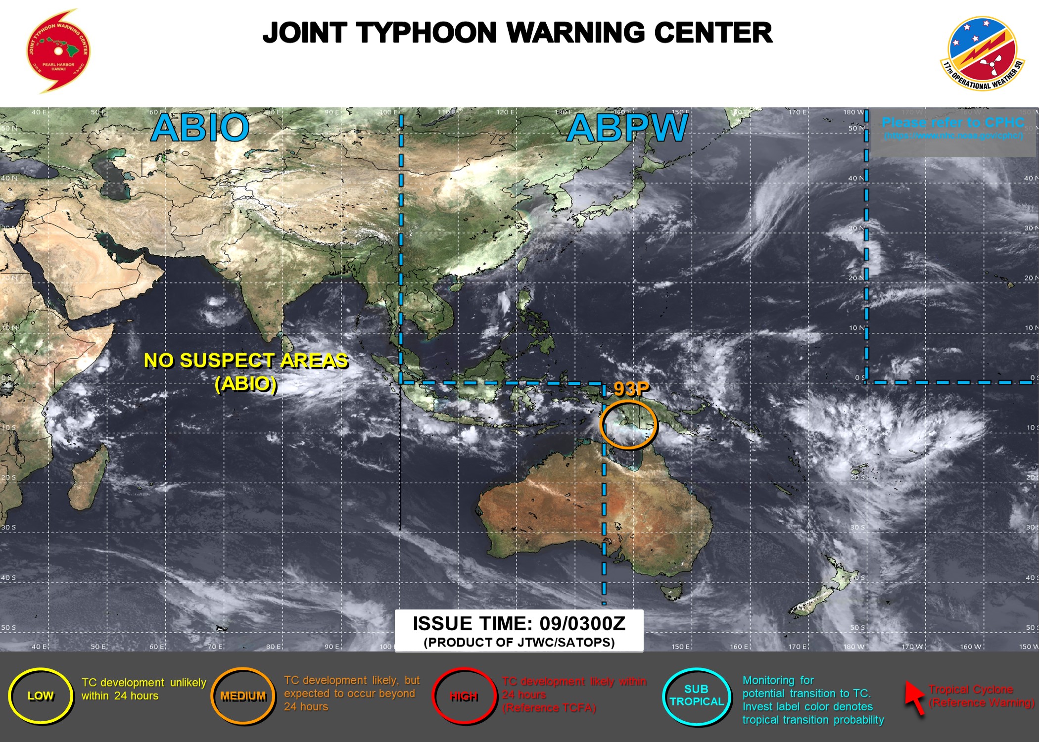
The Joint Typhoon Warning Center (JTWC) provides tropical cyclone analysis, forecast and warning support for the Department of Defense, and other US Government assets in the Pacific and Indian Oceans.
-
National Hurricane Center

The National Hurricane Center is the Regional Specialized Meteorological Center (RSMC) for the Atlantic Basin and is a resource for official tropical cyclone positions, intensities and forecast tracks.
-
Central Pacific Hurricane Center

The Central Pacific Hurricane Center is the Regional Specialized Meteorological Center (RSMC) for the Central Pacific Basin and is a resource for official tropical cyclone positions, intensities and forecast tracks.
-
Regional Specialized Meteorological Centers
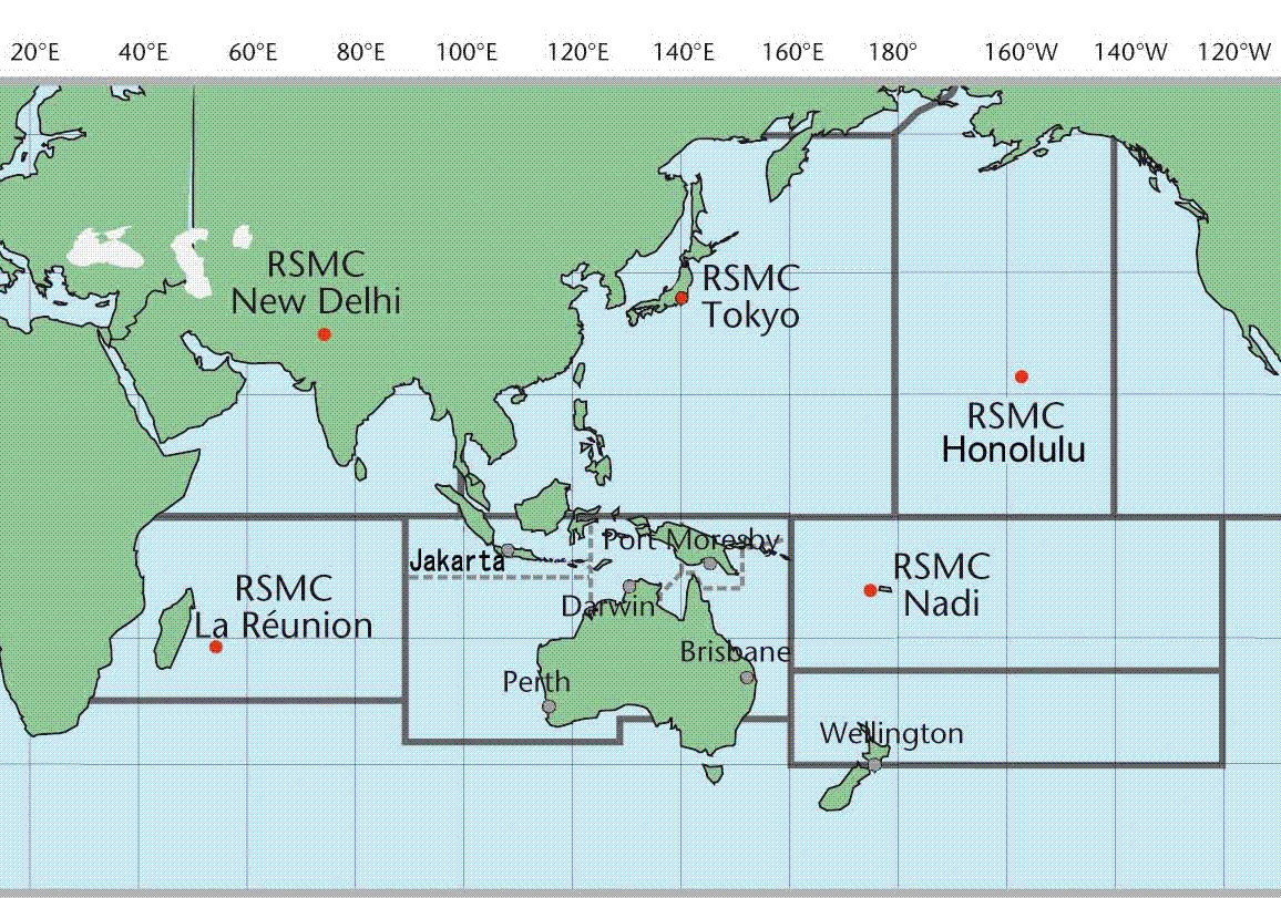
Regional Specialized Meteorological Centers and Tropical Cyclone Warning Centers (RSMC/TCWC) provide official position, intensity analyses, and forecasts for tropical cyclones within their areas of responsibility.
-
Brazil National Institute of Meteorology
The Brazil National Institute of Meteorology is responsible for issuing the official warning for tropical cyclones in the South Atlantic Basin.
-
NCEP International Desk
NOAA's Weather Prediction Center provides visiting scientists meteorological training with an emphasis on the operational use and application of numerical model products.