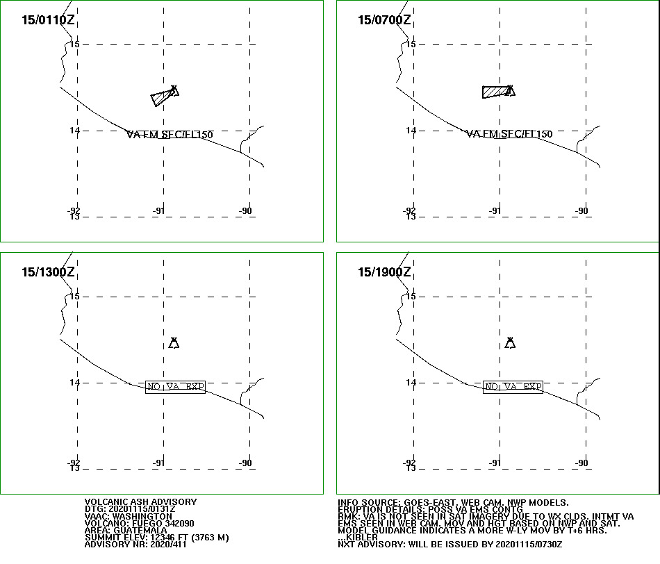
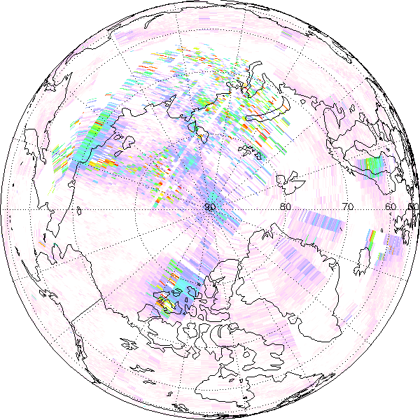
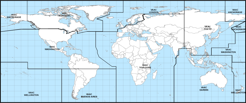
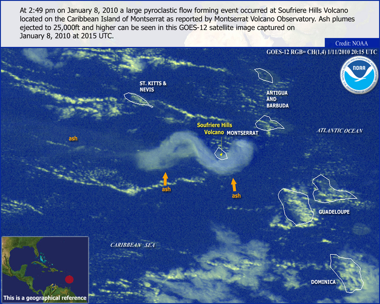
The Washington Volcanic Ash Advisory Center (VAAC), operated 24/7 by NOAA's Satellite Analysis Branch, monitors airspace across the Americas and Caribbean to issue real-time advisories that keep aviation safe from volcanic ash hazards. Its primary products are Volcanic Ash Advisories (VAAs), which detail observed ash positions and T+6-, T+12-, and T+18-hour forecasts, and Volcanic Ash Graphics (VAGs), which visually map these forecasted ash polygons and flight levels for flight planners. Together, these tools provide airline pilots, dispatchers, air traffic controllers and other users with the essential information needed to safely route aircraft around damaging ash clouds.
* Where polygon colors overlap, the resulting color will not precisely match what is presented in the legend. It will generally be a combination of the colors (eg. Red + Yellow = Orange, which would mean OBS and OBS + 6 Hours overlap).