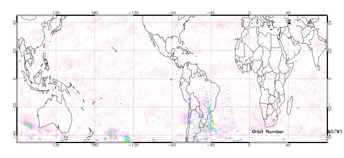
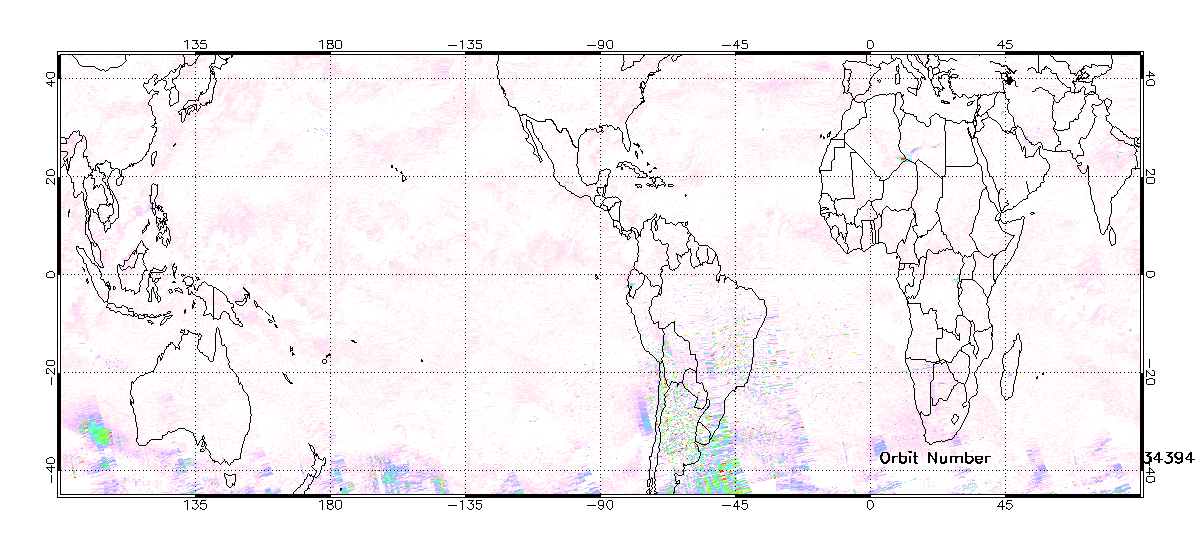
Tropics+
Right Click to Download File
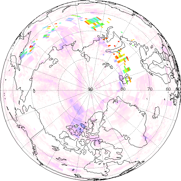
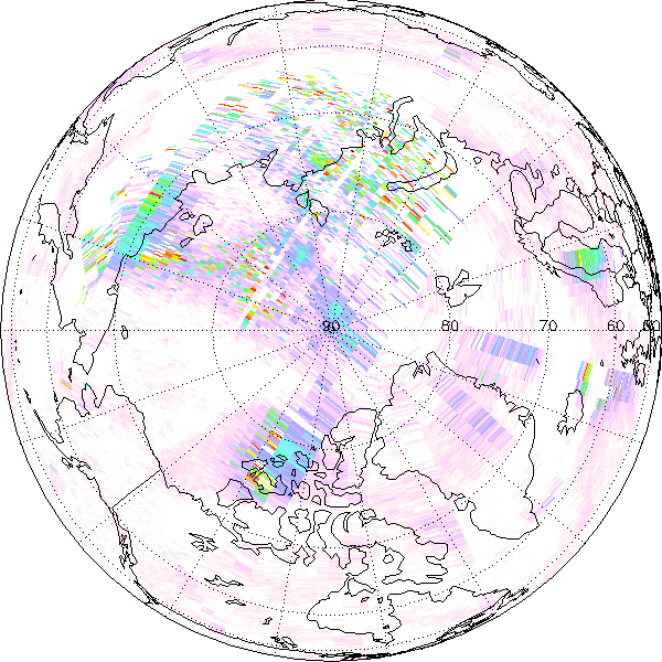
Nothern Hemisphere+
|
Right Click to Download File
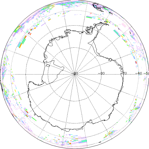
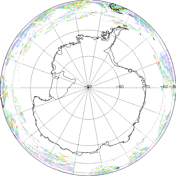
Southern Hemisphere+
|
Right Click to Download File
Official websites use .gov
A
.gov website belongs to an official government
organization in the United States.
Secure .gov websites use HTTPS
A
lock (
) or https:// means you’ve safely connected to
the .gov website. Share sensitive information only on official,
secure websites.

Launched on November 18, 2017, NOAA-20 (designated Joint Polar Satellite System (JPSS-1) before launch) joined
the SNPP satellite in the same orbit. NOAA-20 extends and improves upon the Earth system data records
established by previous Earth Observation Systems (EOS). NOAA-20 is approximately 50 minutes ahead of SNPP which
helps provide observational overlap between the satellites. NOAA-20 is a polar orbiting satellite providing full
global coverage, twice each day with a 4 day revisit cycle. The same sensors are on board SNPP are located on
NOAA-20, including OMPS.
The Ozone Mapping and Profiler Suite (OMPS) is a hyperspectral instrument which consists of three spectrometers
designed to measure the concentration of ozone in the Earth's atmosphere. OMPS builds upon the more than 3
decades of ozone and ozone profile records established by the Solar Backscatter Ultraviolet Radiometer (SBUV and
SBUV/2) and the Total Ozone Mapping Spectrometer (TOMS). Similar to OMPS on SNPP, OMPS on board NOAA-20 carries
nadir mapper OMPS-NM and nadir profiler OMPS-NP, but not limb profiler OMPS-LP. OMPS NOAA-20 provides higher
resolution than OMPS SNPP.
Sulfur dioxide (SO2) produced from volcanoes and anthropogenic sources is also monitored by OMPS. OMPS provides
near real-time data to detect, monitor, and characterize SO2 and ash injected into the atmosphere from volcanic
eruptions. Data from OMPS is used to assess the impacts of volcanic eruptions on air traffic control operations
globally.
|
|
|
A red asterisk (*) indicates a required field.
alert message